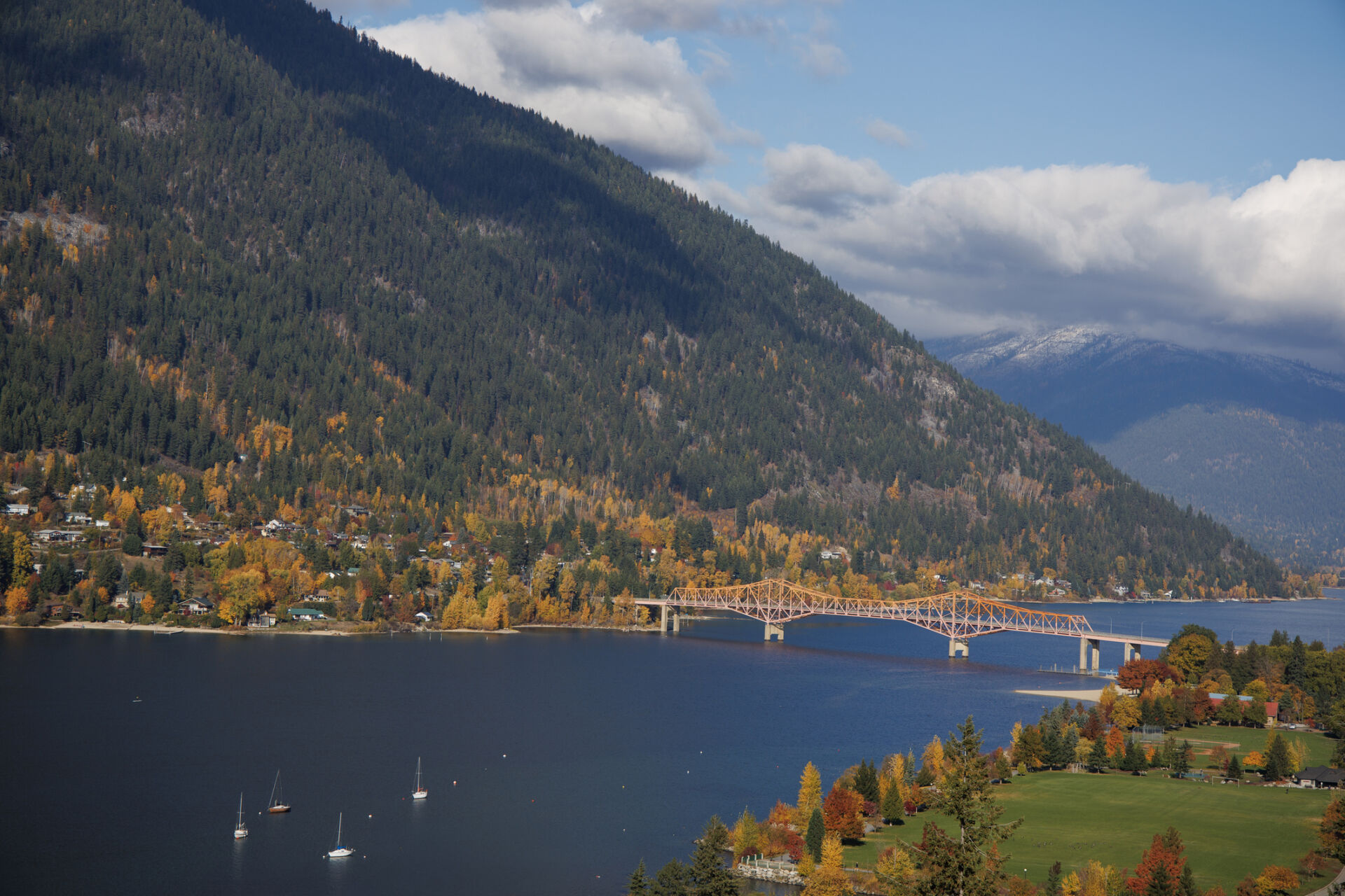
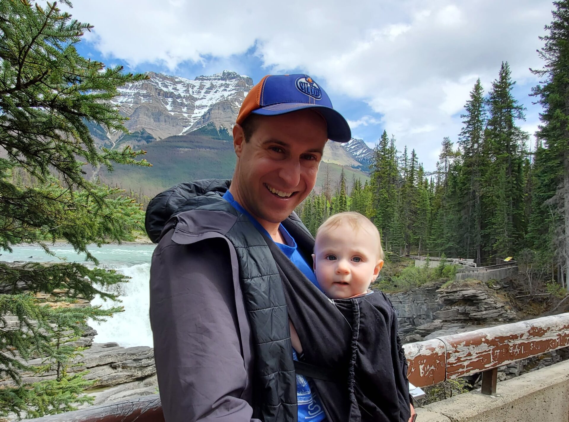
To ensure the sustainable advancement of our industries and communities, while preserving our unique environments and natural resources, we need accurate and reliable data. Geomatics plays an increasingly important role in the acquisition of information, providing an invaluable toolset to achieve the precision and efficiency required to support industry and economic growth.
At VAST Resource Solutions, we offer a comprehensive suite of geomatics and surveying services—ranging from UAV photogrammetry, 3D scanning, and 3D modelling, to high-resolution orthomosaic images and volumetric and stockpile surveys—empowering our clients with the tools they need to make informed decisions and optimize their projects and plans.
Leveraging modern technologies, local knowledge, and industry expertise, the VAST team specializes in the delivery of geomatics services, tailored to the unique requirements for the mining, construction, forestry and property development sectors.
Unleashing the Power of UAV Photogrammetry:
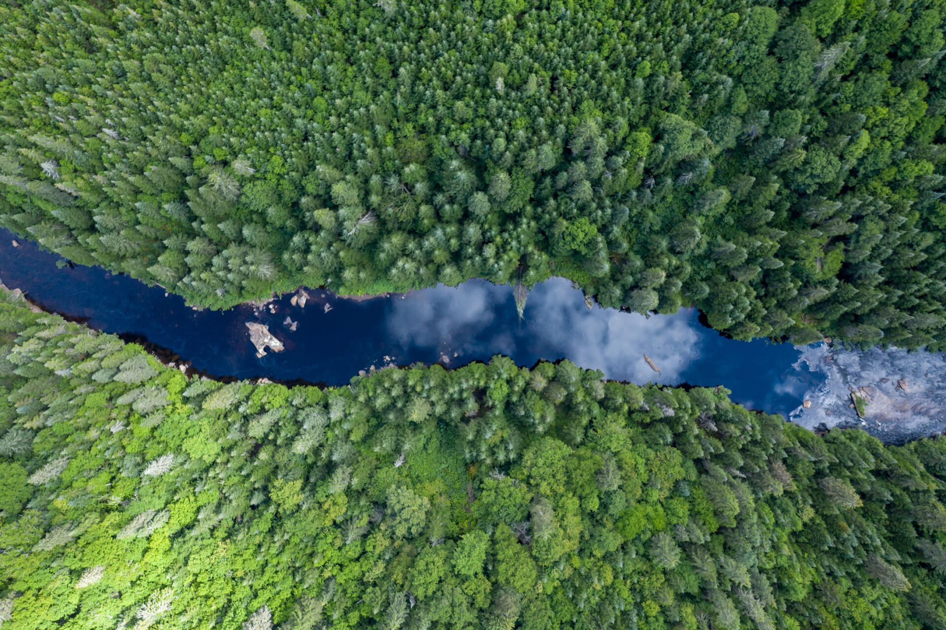
We employ UAV photogrammetry, which revolutionizes the way surface topography and high-resolution orthomosaic images are captured. Our unmanned aerial vehicles (UAVs), equipped with advanced cameras, collect data from above, providing a bird’s-eye view of the terrain. This enables us to precisely map the landscape and generate high-quality orthomosaic images that depict the area with exceptional detail and accuracy.
Accurate Surface Creation with 3D Scanning and Point Classification:
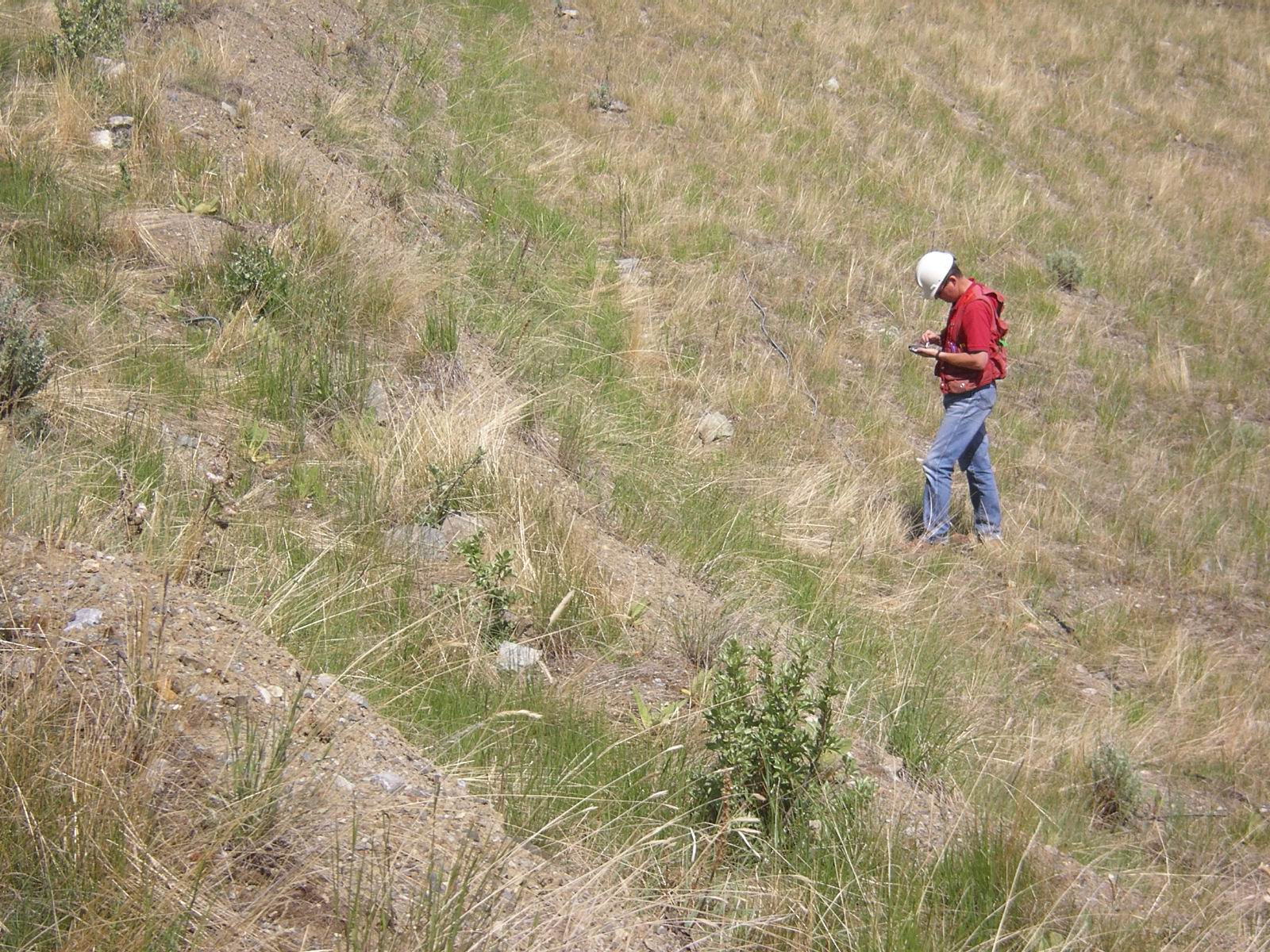
To ensure the highest level of precision in data acquisition, VAST team members utilize 3D scanning and point classification technologies. By capturing millions of points and employing advanced algorithms, we meticulously reconstruct surfaces with utmost accuracy. This enables us to create highly detailed 3D models that serve as a foundation for various applications, from volume calculations and stockpile surveys to site planning and design.
Modern Equipment and Technology:
At VAST, we pride ourselves on utilizing equipment and technology that meet, or exceed, industry standards. Our robust processing capabilities, coupled with powerful software solutions, ensure that collected data is transformed into valuable insights and actionable intelligence.
Industry Expertise and Focus on Precise Data Acquisition:
With many years of experience in the mining, forestry, construction, and development sectors, we understand the unique challenges and requirements faced by our clients. VAST’s team of skilled professionals possess extensive knowledge and diverse expertise, allowing us to deliver precise data acquisition, processing, and modelling services, tailored to the specific needs of our clients, industry, and region. VAST is focused on building long-term client relationships. We collaborate closely with clients to ensure our solutions and outputs help achieve their specific goals and unique project needs.
VAST Resource Solutions delivers precise, efficient, and tailored geomatics solutions that drive success in today’s dynamic landscape. For more details on VAST’s full-scope geomatics services, please visit our service overview.
RECENT NEWS
VAST Resource Solutions is putting down roots in the West Kootenay with a new permanent office on Front Street in ...

VAST Resource Solutions is pleased to introduce Dr. Melissa Chappel, Ph.D., P.Eng., who has joined our team as a ...

VAST Resource Solutions is pleased to welcome Nathan Swanson, P.Eng., P.Geo., P.E., P.G., C.E.G., as our new Senior Geotechnical ...

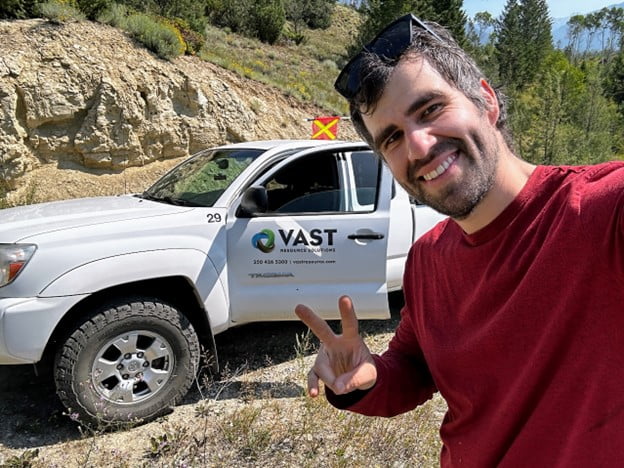
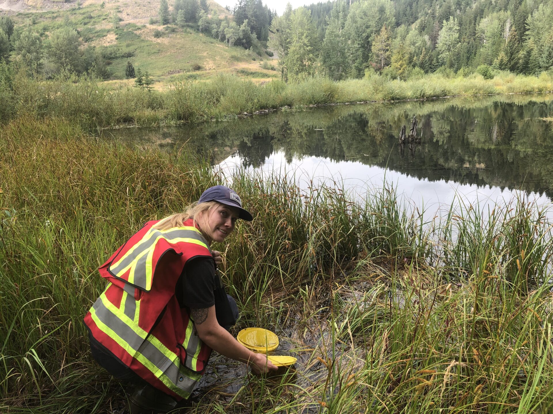
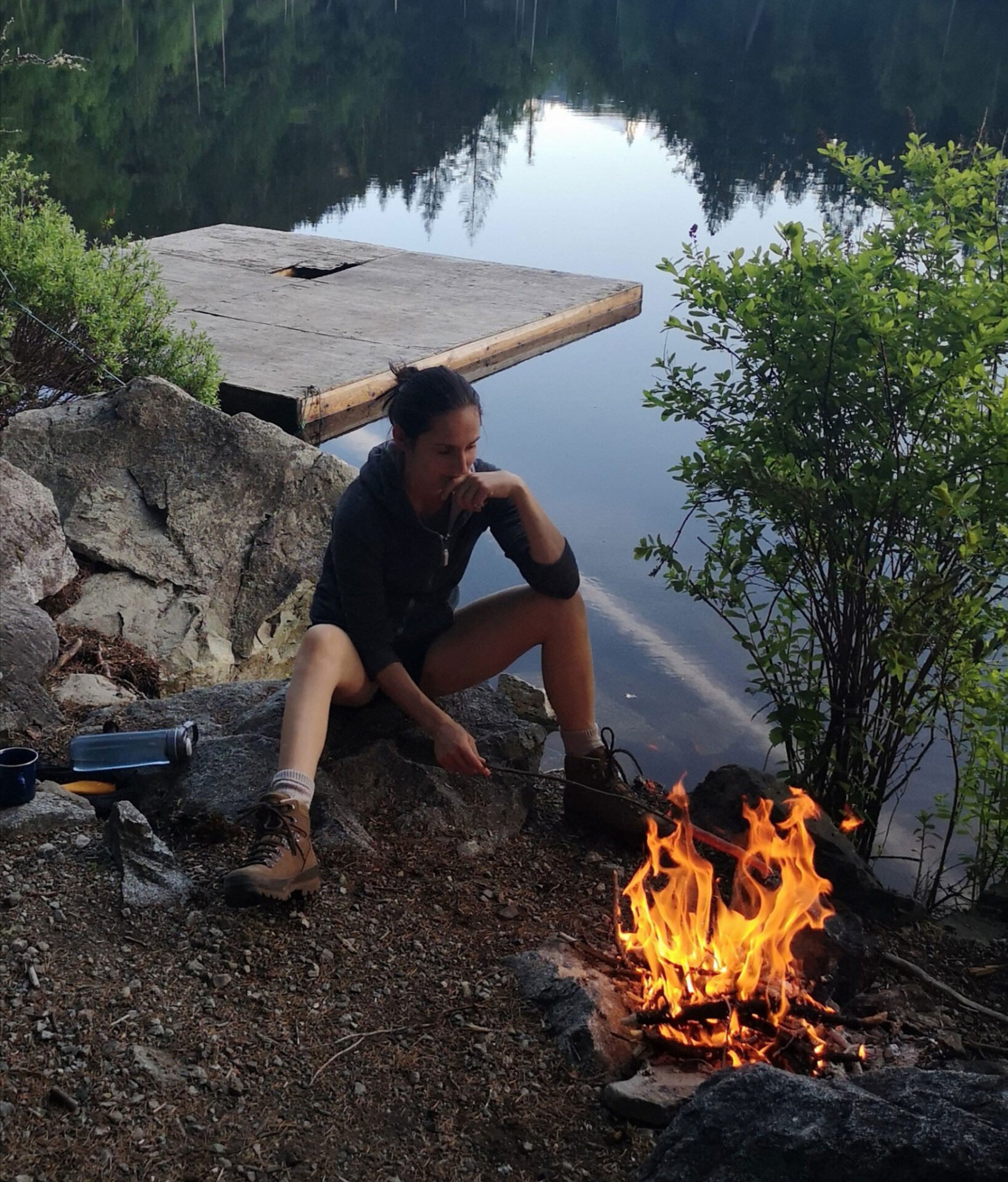
University student Dayanna Fonte shares insights from her summer field experience When University of Lethbridge student Dayanna Fonte set out ...
VAST Resource Solutions is pleased to welcome Donna Kuhnen, CPHR, RPR, as our new Human Resources Manager. Donna brings more ...

VAST Resource Solutions is thrilled to welcome Kimberley Hoodless to our Wildlife/Environmental Services team as a Senior Resource Technician. ...
Nupqu and VAST Resource Solutions Announce Partnership Nupqu and VAST Resource Solutions are proud to announce the next step in ...

Habitat Restoration Project for Critical Bighorn Sheep Range Local volunteers, Indigenous Nations, and industry leaders join forces to improve ...

Full-Scope Project Management: How VAST Resource Solutions Delivers Success For today’s ever evolving and fast-moving industries, effective project management is ...

Harnessing the Kootenays' Renewable Energy Potential: A Bright Future for Solar Power The momentum behind renewable energy in British ...

Supporting Industry with Forest Carbon Solutions The demand for forest carbon services is growing as governments and organizations prioritize emission ...

Finding her fit, Meghan embraces mentorship and is focused on growth at VAST Resource Solutions. Meghan Cameron is an ...

We are excited to welcome Thomas Wins, an accomplished engineer and project manager, to the VAST Resource Solutions team. ...

We're happy to introduce Sadie Cunningham, who has joined the VAST Resource Solutions aquatics team as a Junior Resource ...

We are excited to welcome Alexander Davis, Registered Professional Forester (RPF) with Forest Professionals BC, to the VAST Resource ...
Join us in welcoming Rae Schulz, our summer student, to the VAST Resource Solutions team! Rae has spent the ...

Introducing Pete Wittstock: Engineering the Interface Between Human Structures and Earth VAST Resource Solutions welcomes Pete Wittstock, Senior Geotechnical ...
Introducing Claire Schadeli: A Passionate Advocate for Wildlife and Wetlands Welcome Claire Schadeli, our new Senior Terrestrial Biologist, to ...

Most people don’t know it, but biologists play an important role in the fabric of a community. Although often ...
Navigating the Night: Helping industry understand and protect the world of B.C.’s bats In the heart of British Columbia's ...
In an era marked by rapidly evolving environmental challenges, environmental science and biology provide the fundamental framework for understanding ...
Meet Franklin Mendoza, Jr. Environmental Professional with VAST Resource Solutions. Franklin earned his Bachelor of Engineering at the Universidad Distrital ...
To ensure the sustainable advancement of our industries and communities, while preserving our unique environments and natural resources, we need ...
Happy International Women’s Day This year’s United Nation’s theme for International Women’s Day is DigitALL: Innovation and technology for ...
Meet Emily de Freitas, Intermediate Resource Technician with VAST. Emily has a Bachelor of Science from the University of ...
VAST’s Accounting Clerk extraordinaire. Anne is often the first point of contact for clients and has quickly slid into the ...
We’re pleased to introduce you to VAST’s new Intermediate Wildlife Biologist, Rain Forest Noakes. Rain grew up in small ...
This year’s theme for International Women’s Day is Gender equality today for a sustainable tomorrow, recognizing the contribution of ...
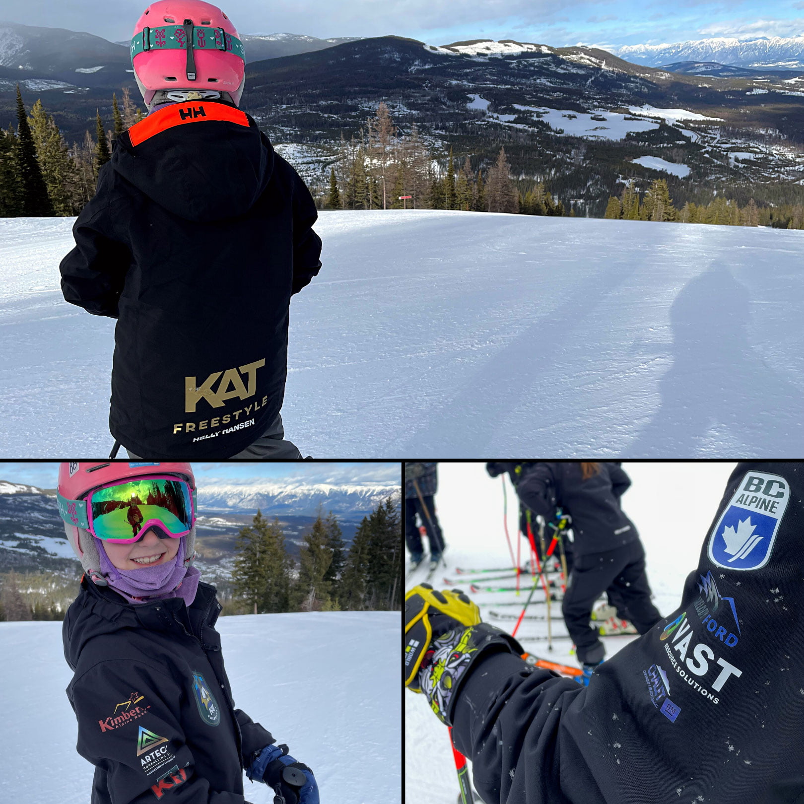
The new Kimberley Alpine Team jackets on point VAST wishes all competitors and skiers the best of luck throughout this ...
Thanks to VAST Sr. Project Manager Rod Metcalf for contributing his expertise to this The BC Forest Safety Council ...
We’d like to introduce you to Thomas Malinowski (P. Eng., PMP), Senior Project Manager at VAST Resource Solutions. Thomas ...
While VAST Resource Solutions Inc. was founded in 2012, the company’s team members have a 50+ year history of serving ...

